Author: Admiralty
Title: Nautical Chart No. 3754 Canada and United States - West Coast, Dixon Entrance
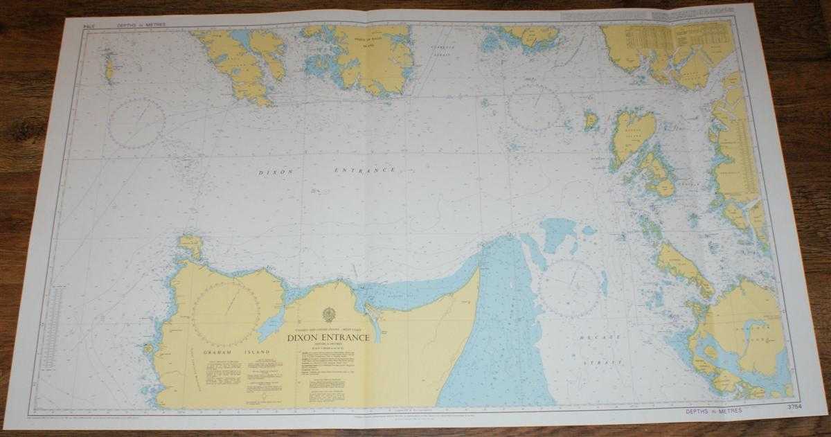
Description: Map Admiralty, 2005. Revised Edition, Softcover. Very Good Condition/No Dust Jacket. Crisp and clean colour chart with two vertical folds. Nautical Chart No. 3754 Canada and United States - West Coast, Dixon Entrance. Copyright 1992 with small corrections to 2005. Scale 1:200,000. Area Covered: North America (part), Graham Island (part), Prince of Wales Island (part), Dall Island, Dundas Island, Stephens Island, Porcher Island, Forrester Island, Tsimpsean Peninsula, Digby Island. Dixon Entrance, Hecate Strait, McIntyre Bay, Clarence Strait, Revillagigedo Channel, Chatham Sound, Portland Inlet. Size: 72x119. Item Type: Map. Single sheet map/chart which is suitable for framing and will be shipped rolled and in a cardboard tube. Quantity Available: 1. Shipped Weight: under 1 kg. Pictures of this item not already displayed here available upon request. Inventory No: 45517104060. ISBN: 1870141156
Keywords: BZDB4 Maps; USA & Canada; naval, naval history, maritime, ships, boats. Admiralty Nautical Chart No. 3754 Canada and United States - West Coast, Dixon Entrance USA & Canada naval, naval history, maritime, ships, boats
See more books from our catalog: Maps
Title: Nautical Chart No. 3754 Canada and United States - West Coast, Dixon Entrance
Description: Map Admiralty, 2005. Revised Edition, Softcover. Very Good Condition/No Dust Jacket. Crisp and clean colour chart with two vertical folds. Nautical Chart No. 3754 Canada and United States - West Coast, Dixon Entrance. Copyright 1992 with small corrections to 2005. Scale 1:200,000. Area Covered: North America (part), Graham Island (part), Prince of Wales Island (part), Dall Island, Dundas Island, Stephens Island, Porcher Island, Forrester Island, Tsimpsean Peninsula, Digby Island. Dixon Entrance, Hecate Strait, McIntyre Bay, Clarence Strait, Revillagigedo Channel, Chatham Sound, Portland Inlet. Size: 72x119. Item Type: Map. Single sheet map/chart which is suitable for framing and will be shipped rolled and in a cardboard tube. Quantity Available: 1. Shipped Weight: under 1 kg. Pictures of this item not already displayed here available upon request. Inventory No: 45517104060. ISBN: 1870141156
Keywords: BZDB4 Maps; USA & Canada; naval, naval history, maritime, ships, boats. Admiralty Nautical Chart No. 3754 Canada and United States - West Coast, Dixon Entrance USA & Canada naval, naval history, maritime, ships, boats
Price: GBP 26.00 = appr. US$ 37.13 Seller: Bailgate Books Ltd
- Book number: 45517104060
- Book number: 45517104060
See more books from our catalog: Maps