Author: Admiralty
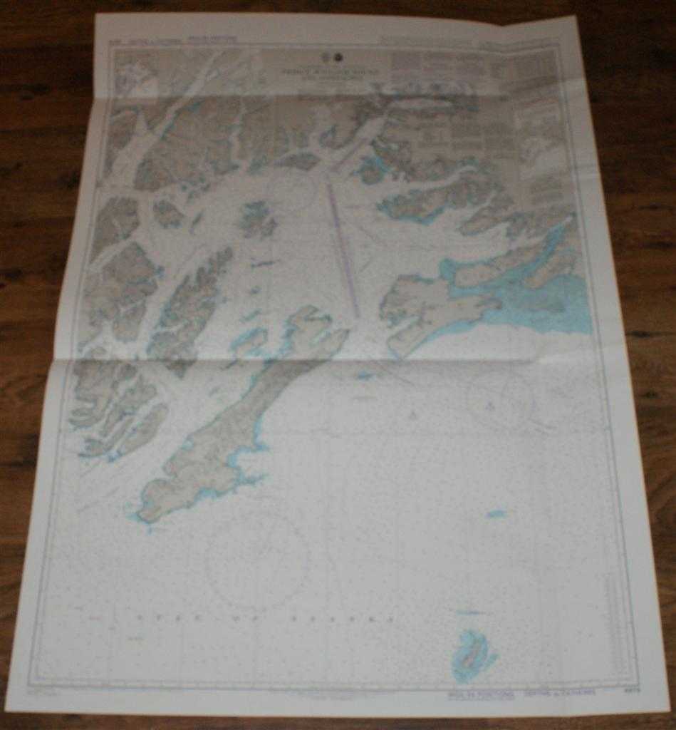
Title: Nautical Chart No. 4979 United States - Alaska, South Coast, Prince William Sound and Approaches
Description: Map Admiralty, 2005. Revised Edition, Softcover. Very Good Condition/No Dust Jacket. Crisp and clean colour chart with single vertical and two horizontal folds. Nautical Chart No. 4979 United States - Alaska, South Coast, Prince William Sound and Approaches. Published 2001 with notices to 2005. Scale 1:200,000. Area Covered: North America (part), Alaska (part), Montague Island, Hinchinbrook Island, Bainbridge Island, Knight Island, Elrington Island, Latouche Island, Hawkins Island. Gulf of Alaska, Prince William Sound, Montague Strait, Knight Island Passage, Port Gravina, Hinchinbrook Entrance, Port Wells, Unakwik Inlet, Vadez Arm, Port Valdez. Size: 119x84cm. Item Type: Map. Single sheet map/chart which is suitable for framing and will be shipped rolled and in a cardboard tube. Quantity Available: 1. Shipped Weight: under 1 kg. Pictures of this item not already displayed here available upon request. Inventory No: 45517104058. ISBN: 1870141156
Keywords: BZDB4 Maps; USA & Canada; Arctic & Antarctic; naval, naval history, maritime, ships, boats. Admiralty Nautical Chart No. 4979 United States - Alaska, South Coast, Prince William Sound and Approaches USA & Canada Arctic & Antarctic naval, naval history, m
See more books from our catalog: Maps
Title: Nautical Chart No. 4979 United States - Alaska, South Coast, Prince William Sound and Approaches
Description: Map Admiralty, 2005. Revised Edition, Softcover. Very Good Condition/No Dust Jacket. Crisp and clean colour chart with single vertical and two horizontal folds. Nautical Chart No. 4979 United States - Alaska, South Coast, Prince William Sound and Approaches. Published 2001 with notices to 2005. Scale 1:200,000. Area Covered: North America (part), Alaska (part), Montague Island, Hinchinbrook Island, Bainbridge Island, Knight Island, Elrington Island, Latouche Island, Hawkins Island. Gulf of Alaska, Prince William Sound, Montague Strait, Knight Island Passage, Port Gravina, Hinchinbrook Entrance, Port Wells, Unakwik Inlet, Vadez Arm, Port Valdez. Size: 119x84cm. Item Type: Map. Single sheet map/chart which is suitable for framing and will be shipped rolled and in a cardboard tube. Quantity Available: 1. Shipped Weight: under 1 kg. Pictures of this item not already displayed here available upon request. Inventory No: 45517104058. ISBN: 1870141156
Keywords: BZDB4 Maps; USA & Canada; Arctic & Antarctic; naval, naval history, maritime, ships, boats. Admiralty Nautical Chart No. 4979 United States - Alaska, South Coast, Prince William Sound and Approaches USA & Canada Arctic & Antarctic naval, naval history, m
Price: GBP 26.00 = appr. US$ 37.13 Seller: Bailgate Books Ltd
- Book number: 45517104058
- Book number: 45517104058
See more books from our catalog: Maps