Author: Admiralty
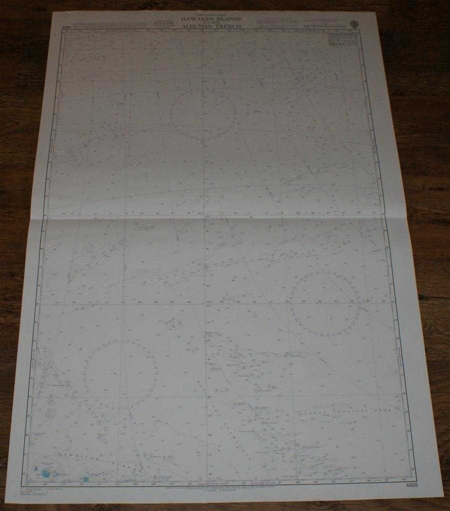
Title: Nautical Chart No. 4805 North Pacific Ocean, Hawaiian Islands to the Aleutian Trench
Description: Map Admiralty, 2003. Revised Edition, Softcover. Very Good Condition/No Dust Jacket. Crisp and clean colour chart with single horizontal fold. Nautical Chart No. 4805 North Pacific Ocean, Hawaiian Islands to the Aleutian Trench. 2003 edition of 1982 publication. Scale 1:3,500,000. Area Covered: North Pacific (part), Hawaiian Islands (part), Laysan Island, Lisianski Island, Musicians Seamounts, Mendocino Fracture Zone, Surveyor Fracture Zone, Murray Fracture Zone, Aleutian Trench. Size: 104x72cm. Item Type: Map. Single sheet map/chart which is suitable for framing and will be shipped rolled and in a cardboard tube. Quantity Available: 1. Shipped Weight: under 1 kg. Pictures of this item not already displayed here available upon request. Inventory No: 45517104046. ISBN: 1870141156
Keywords: BZDB4 Maps; Australasia and the Pacific; naval, naval history, maritime, ships, boats. Admiralty Nautical Chart No. 4805 North Pacific Ocean, Hawaiian Islands to the Aleutian Trench Australasia and the Pacific naval, naval history, maritime, ships, boat
See more books from our catalog: Maps
Title: Nautical Chart No. 4805 North Pacific Ocean, Hawaiian Islands to the Aleutian Trench
Description: Map Admiralty, 2003. Revised Edition, Softcover. Very Good Condition/No Dust Jacket. Crisp and clean colour chart with single horizontal fold. Nautical Chart No. 4805 North Pacific Ocean, Hawaiian Islands to the Aleutian Trench. 2003 edition of 1982 publication. Scale 1:3,500,000. Area Covered: North Pacific (part), Hawaiian Islands (part), Laysan Island, Lisianski Island, Musicians Seamounts, Mendocino Fracture Zone, Surveyor Fracture Zone, Murray Fracture Zone, Aleutian Trench. Size: 104x72cm. Item Type: Map. Single sheet map/chart which is suitable for framing and will be shipped rolled and in a cardboard tube. Quantity Available: 1. Shipped Weight: under 1 kg. Pictures of this item not already displayed here available upon request. Inventory No: 45517104046. ISBN: 1870141156
Keywords: BZDB4 Maps; Australasia and the Pacific; naval, naval history, maritime, ships, boats. Admiralty Nautical Chart No. 4805 North Pacific Ocean, Hawaiian Islands to the Aleutian Trench Australasia and the Pacific naval, naval history, maritime, ships, boat
Price: GBP 24.00 = appr. US$ 34.27 Seller: Bailgate Books Ltd
- Book number: 45517104046
- Book number: 45517104046
See more books from our catalog: Maps