Author: Admiralty
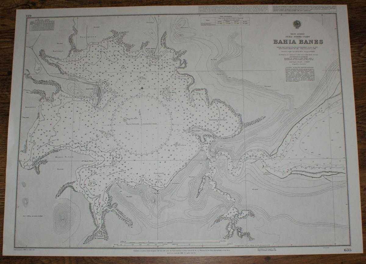
Title: Nautical Chart No. 635 West Indies, Cuba - North coast, Bahia Banes
Description: Map Admiralty, 2001. Revised Edition, Softcover. Very Good Condition/No Dust Jacket. Crisp and clean black and white chart with no formal fold. Nautical Chart No. 635 West Indies, Cuba - North coast, Bahia Banes. Copyright 1998 with small corrections to 2001. Scale 1:20,000. Area Covered: Cuba (part), Macabi, Naranjo, Torontera, Esterito, Mano Pilon, Puerto Banes, Pierna de Calzones, Cayo Iguana, Jucaro, Ensenada de la Raya, Ensenada de Juearo, Ensenada de Jamaica, Ensenada del Coco, Arroyo Naranjo. Size: 52x71cm. Item Type: Map. Quantity Available: 1. Shipped Weight: under 1 kg. Pictures of this item not already displayed here available upon request. Inventory No: 45517094013. ISBN: 1859831060
Keywords: BZDB4 Maps; naval, naval history, maritime, ships, boats; South & Central America & the West Indies. Admiralty Nautical Chart No. 635 West Indies, Cuba - North coast, Bahia Banes naval, naval history, maritime, ships, boats South & Central America & the
See more books from our catalog: Maps
Title: Nautical Chart No. 635 West Indies, Cuba - North coast, Bahia Banes
Description: Map Admiralty, 2001. Revised Edition, Softcover. Very Good Condition/No Dust Jacket. Crisp and clean black and white chart with no formal fold. Nautical Chart No. 635 West Indies, Cuba - North coast, Bahia Banes. Copyright 1998 with small corrections to 2001. Scale 1:20,000. Area Covered: Cuba (part), Macabi, Naranjo, Torontera, Esterito, Mano Pilon, Puerto Banes, Pierna de Calzones, Cayo Iguana, Jucaro, Ensenada de la Raya, Ensenada de Juearo, Ensenada de Jamaica, Ensenada del Coco, Arroyo Naranjo. Size: 52x71cm. Item Type: Map. Quantity Available: 1. Shipped Weight: under 1 kg. Pictures of this item not already displayed here available upon request. Inventory No: 45517094013. ISBN: 1859831060
Keywords: BZDB4 Maps; naval, naval history, maritime, ships, boats; South & Central America & the West Indies. Admiralty Nautical Chart No. 635 West Indies, Cuba - North coast, Bahia Banes naval, naval history, maritime, ships, boats South & Central America & the
Price: GBP 22.00 = appr. US$ 31.42 Seller: Bailgate Books Ltd
- Book number: 45517094013
- Book number: 45517094013
See more books from our catalog: Maps