Author: Admiralty
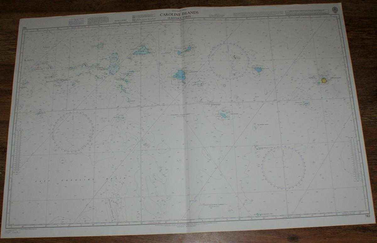
Title: Nautical Chart No. 762 North Pacific Ocean - Caroline Islands, Eastern Part
Description: Map Admiralty, 2005. Revised Edition, Softcover. Very Good Condition/No Dust Jacket. Crisp and clean colour chart with single vertical fold. Sheet is slightly crinkled along the top edge and very lightly marked on reverse. Nautical Chart No. 762 North Pacific Ocean - Caroline Islands, Western Part. 2002 edition of 1990 publication with notices to 2005. Scale 1:1,500,000. Area Covered: East Caroline Basin, Mussau Trough, Elato Atoll, Lamotrek Atoll, Pulap Atoll, Namonuito Atoll, Chuuk Islands, Losap Atoll, Namoluk Atoll, Nomoi Islands, Nukuoro Atoll, Oroluk Lagoon, Ngatik Atoll, Senyavin Islands, Pohnpei Island, Equatorial Counter Current, South Equatorial Current. Item Type: Map. Quantity Available: 1. Shipped Weight: under 1 kg. Pictures of this item not already displayed here available upon request. Inventory No: 45517084056. ISBN: 1859831060
Keywords: BZDB4 Maps; naval, naval history, maritime, ships, boats; Australasia and the Pacific. Admiralty Nautical Chart No. 762 North Pacific Ocean - Caroline Islands, Eastern Part naval, naval history, maritime, ships, boats Australasia and the Pacific
See more books from our catalog: Maps
Title: Nautical Chart No. 762 North Pacific Ocean - Caroline Islands, Eastern Part
Description: Map Admiralty, 2005. Revised Edition, Softcover. Very Good Condition/No Dust Jacket. Crisp and clean colour chart with single vertical fold. Sheet is slightly crinkled along the top edge and very lightly marked on reverse. Nautical Chart No. 762 North Pacific Ocean - Caroline Islands, Western Part. 2002 edition of 1990 publication with notices to 2005. Scale 1:1,500,000. Area Covered: East Caroline Basin, Mussau Trough, Elato Atoll, Lamotrek Atoll, Pulap Atoll, Namonuito Atoll, Chuuk Islands, Losap Atoll, Namoluk Atoll, Nomoi Islands, Nukuoro Atoll, Oroluk Lagoon, Ngatik Atoll, Senyavin Islands, Pohnpei Island, Equatorial Counter Current, South Equatorial Current. Item Type: Map. Quantity Available: 1. Shipped Weight: under 1 kg. Pictures of this item not already displayed here available upon request. Inventory No: 45517084056. ISBN: 1859831060
Keywords: BZDB4 Maps; naval, naval history, maritime, ships, boats; Australasia and the Pacific. Admiralty Nautical Chart No. 762 North Pacific Ocean - Caroline Islands, Eastern Part naval, naval history, maritime, ships, boats Australasia and the Pacific
Price: GBP 26.00 = appr. US$ 37.13 Seller: Bailgate Books Ltd
- Book number: 45517084056
- Book number: 45517084056
See more books from our catalog: Maps