Author: Admiralty
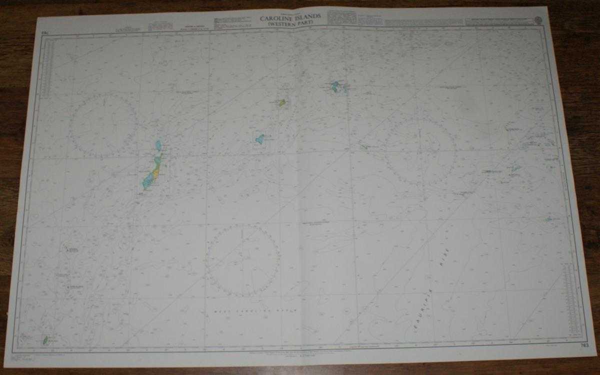
Title: Nautical Chart No. 763 North Pacific Ocean, Caroline Islands - Western Part
Description: Map Admiralty, 2005. Revised Edition, Softcover. Very Good Condition/No Dust Jacket. Crisp and clean colour chart with single vertical fold. Nautical Chart No. 763 North Pacific Ocean, Caroline Islands - Western Part. 2002 edition of 1990 publication with notices to 2005. Scale 1:1,500,000. Area Covered: Palau Islands, Helen Reef, Ngulu Atoll, Yap Islands, Ulithi Atoll, Sorol Atoll, Sonsorol Islands, West Caroline Basin, Eauripik Rise, North Equatorial Current, Eauripik Atoll, Woleai Atoll, Equatorial Counter-Current, Yap Trench. Item Type: Map. Quantity Available: 1. Shipped Weight: under 1 kg. Pictures of this item not already displayed here available upon request. Inventory No: 45517084054. ISBN: 1859831060
Keywords: BZDB4 Maps; naval, naval history, maritime, ships, boats; Australasia and the Pacific. Admiralty Nautical Chart No. 763 North Pacific Ocean, Caroline Islands - Western Part naval, naval history, maritime, ships, boats Australasia and the Pacific
See more books from our catalog: Maps
Title: Nautical Chart No. 763 North Pacific Ocean, Caroline Islands - Western Part
Description: Map Admiralty, 2005. Revised Edition, Softcover. Very Good Condition/No Dust Jacket. Crisp and clean colour chart with single vertical fold. Nautical Chart No. 763 North Pacific Ocean, Caroline Islands - Western Part. 2002 edition of 1990 publication with notices to 2005. Scale 1:1,500,000. Area Covered: Palau Islands, Helen Reef, Ngulu Atoll, Yap Islands, Ulithi Atoll, Sorol Atoll, Sonsorol Islands, West Caroline Basin, Eauripik Rise, North Equatorial Current, Eauripik Atoll, Woleai Atoll, Equatorial Counter-Current, Yap Trench. Item Type: Map. Quantity Available: 1. Shipped Weight: under 1 kg. Pictures of this item not already displayed here available upon request. Inventory No: 45517084054. ISBN: 1859831060
Keywords: BZDB4 Maps; naval, naval history, maritime, ships, boats; Australasia and the Pacific. Admiralty Nautical Chart No. 763 North Pacific Ocean, Caroline Islands - Western Part naval, naval history, maritime, ships, boats Australasia and the Pacific
Price: GBP 26.00 = appr. US$ 37.13 Seller: Bailgate Books Ltd
- Book number: 45517084054
- Book number: 45517084054
See more books from our catalog: Maps