Author: Admiralty
Title: Nautical Chart No. AUS 519 Papua New Guinea - North East Coast, Ward Hunt Strait to Star Reefs Passage
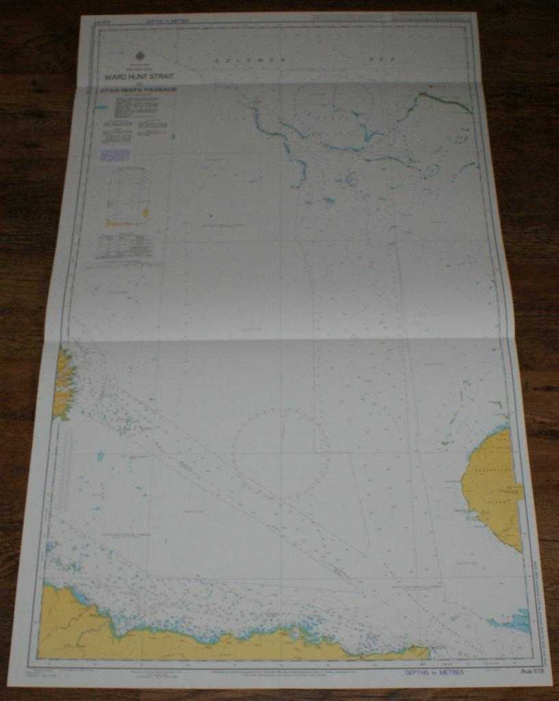
Description: Map Admiralty, 2005. Revised Edition, Softcover. Very Good Condition/No Dust Jacket. Crisp and clean colour chart with two horizontal folds. Small "Reef and Shoal Delimitation" notice pasted to sheet under title block. Nautical Chart No. AUS 519 Papua New Guinea - North East Coast, Ward Hunt Strait to Star Reefs Passage. 2003 edition of 1986 publication with notices to 2005. Scale 1:150,000. Area Covered: Papua New Guinea (part), Fir Tree Point, Kibirisi Point, Goodenough Island (part), Tufi, Star Reefs, Canopus Reefs, Acamar Reefs, Antares Reefs, Lusancay Islands. Solomon Sea, South Sub-Tropical Current, Star Reefs Passage, Kaidogo Weraura or Ward Hunt Strait, Moibiri Bay. Item Type: Map. Quantity Available: 1. Shipped Weight: under 1 kg. Pictures of this item not already displayed here available upon request. Inventory No: 45517084047. ISBN: 1859831060
Keywords: BZDB4 Maps; naval, naval history, maritime, ships, boats; Australasia and the Pacific. Admiralty Nautical Chart No. AUS 519 Papua New Guinea - North East Coast, Ward Hunt Strait to Star Reefs Passage naval, naval history, maritime, ships, boats Australa
See more books from our catalog: Maps
Title: Nautical Chart No. AUS 519 Papua New Guinea - North East Coast, Ward Hunt Strait to Star Reefs Passage
Description: Map Admiralty, 2005. Revised Edition, Softcover. Very Good Condition/No Dust Jacket. Crisp and clean colour chart with two horizontal folds. Small "Reef and Shoal Delimitation" notice pasted to sheet under title block. Nautical Chart No. AUS 519 Papua New Guinea - North East Coast, Ward Hunt Strait to Star Reefs Passage. 2003 edition of 1986 publication with notices to 2005. Scale 1:150,000. Area Covered: Papua New Guinea (part), Fir Tree Point, Kibirisi Point, Goodenough Island (part), Tufi, Star Reefs, Canopus Reefs, Acamar Reefs, Antares Reefs, Lusancay Islands. Solomon Sea, South Sub-Tropical Current, Star Reefs Passage, Kaidogo Weraura or Ward Hunt Strait, Moibiri Bay. Item Type: Map. Quantity Available: 1. Shipped Weight: under 1 kg. Pictures of this item not already displayed here available upon request. Inventory No: 45517084047. ISBN: 1859831060
Keywords: BZDB4 Maps; naval, naval history, maritime, ships, boats; Australasia and the Pacific. Admiralty Nautical Chart No. AUS 519 Papua New Guinea - North East Coast, Ward Hunt Strait to Star Reefs Passage naval, naval history, maritime, ships, boats Australa
Price: GBP 26.00 = appr. US$ 37.13 Seller: Bailgate Books Ltd
- Book number: 45517084047
- Book number: 45517084047
See more books from our catalog: Maps