Author: Admiralty
Title: Nautical Chart No. AUS 387 South Pacific Ocean - Papua New Guinea, Vitiaz Strait to Isumrud Strait
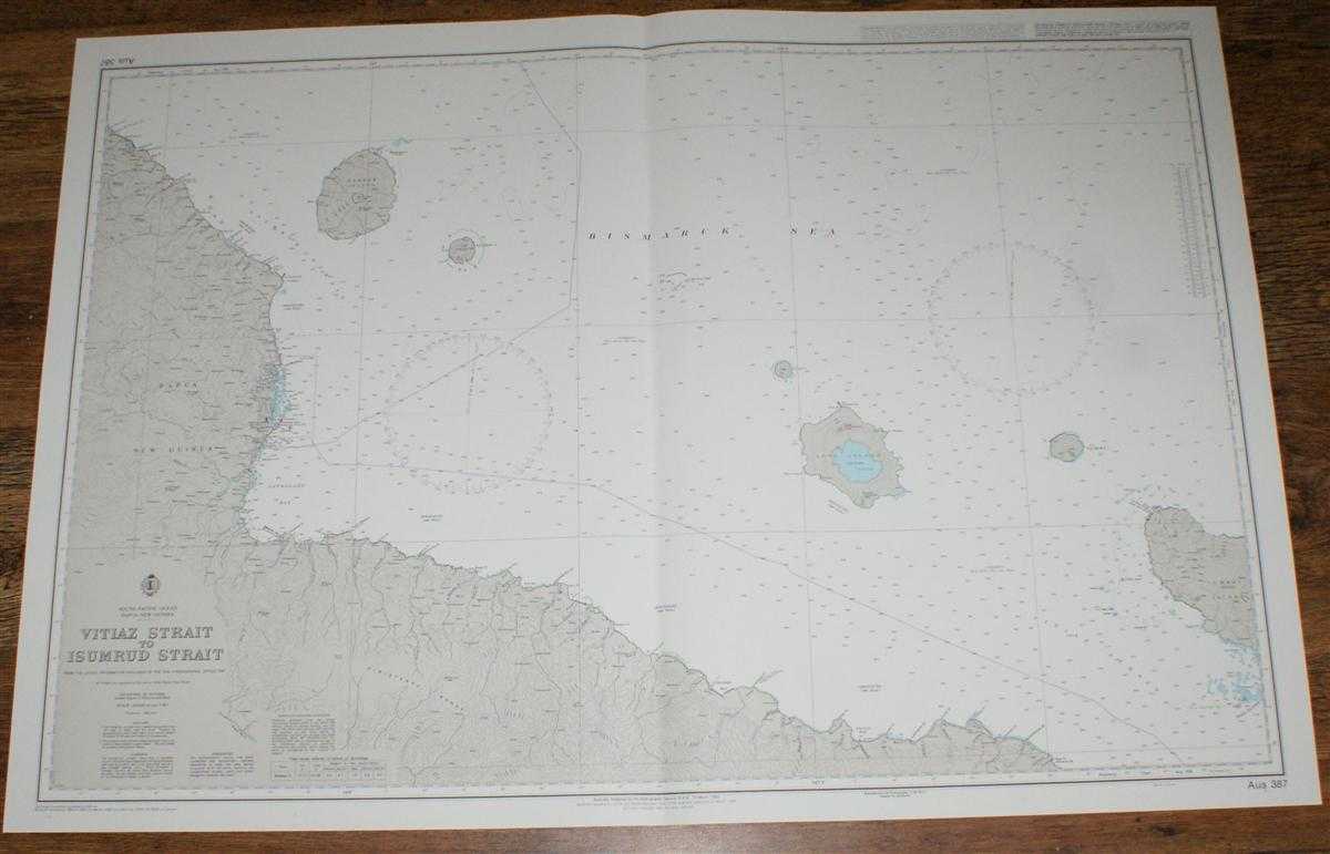
Description: Map Admiralty, 2005. Revised Edition, Softcover. Very Good Condition/No Dust Jacket. Crisp and clean colour chart with single vertical fold. Nautical Chart No. AUS 387 South Pacific Ocean - Papua New Guinea, Vitiaz Strait to Isumrud Strait. Copyright 1992 with small corrections to 2005. Scale 1:300,000. Area Covered: Papua New Guinea (part), Finisterre Range, Maclay Coast, Karkar Island, Bagabag Island, Crown Island, Long Island, Tolokima Island, Umboi or Rooke Island (part), Siassi Islands (part). Bismarck Sea, Lake Wisdom, Vitiaz Strait, Astolabe Bay, Isumrud Strait, Nuru River, Kabenau River, Dorfer Bay. Item Type: Map. Quantity Available: 1. Shipped Weight: under 1 kg. Pictures of this item not already displayed here available upon request. Inventory No: 45517084045. ISBN: 1859831060
Keywords: BZDB4 Maps; naval, naval history, maritime, ships, boats; Australasia and the Pacific. Admiralty Nautical Chart No. AUS 387 South Pacific Ocean - Papua New Guinea, Vitiaz Strait to Isumrud Strait naval, naval history, maritime, ships, boats Australasia
See more books from our catalog: Maps
Title: Nautical Chart No. AUS 387 South Pacific Ocean - Papua New Guinea, Vitiaz Strait to Isumrud Strait
Description: Map Admiralty, 2005. Revised Edition, Softcover. Very Good Condition/No Dust Jacket. Crisp and clean colour chart with single vertical fold. Nautical Chart No. AUS 387 South Pacific Ocean - Papua New Guinea, Vitiaz Strait to Isumrud Strait. Copyright 1992 with small corrections to 2005. Scale 1:300,000. Area Covered: Papua New Guinea (part), Finisterre Range, Maclay Coast, Karkar Island, Bagabag Island, Crown Island, Long Island, Tolokima Island, Umboi or Rooke Island (part), Siassi Islands (part). Bismarck Sea, Lake Wisdom, Vitiaz Strait, Astolabe Bay, Isumrud Strait, Nuru River, Kabenau River, Dorfer Bay. Item Type: Map. Quantity Available: 1. Shipped Weight: under 1 kg. Pictures of this item not already displayed here available upon request. Inventory No: 45517084045. ISBN: 1859831060
Keywords: BZDB4 Maps; naval, naval history, maritime, ships, boats; Australasia and the Pacific. Admiralty Nautical Chart No. AUS 387 South Pacific Ocean - Papua New Guinea, Vitiaz Strait to Isumrud Strait naval, naval history, maritime, ships, boats Australasia
Price: GBP 26.00 = appr. US$ 37.13 Seller: Bailgate Books Ltd
- Book number: 45517084045
- Book number: 45517084045
See more books from our catalog: Maps