Author: Admiralty
Title: Nautical Chart No. 4623 Pacific Ocean - Solomon Islands to Kosrae Island
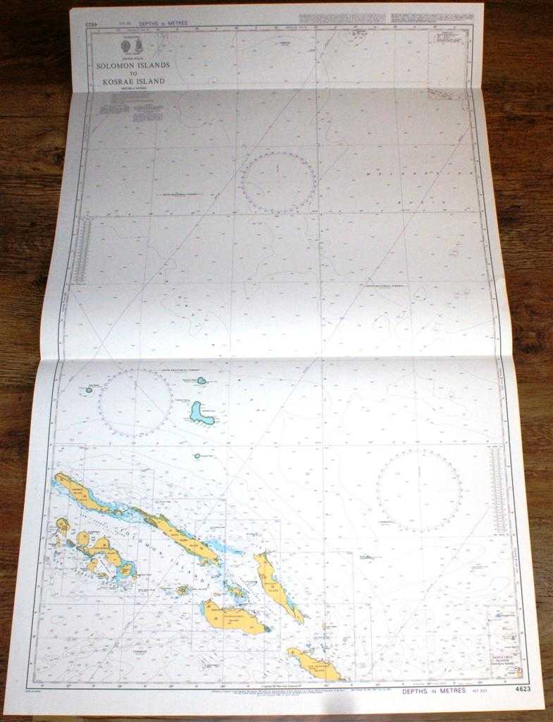
Description: Admiralty, 1998. Revised Edition, Softcover. Very Good Condition/No Dust Jacket. Crisp and clean colour chart with two horizontal folds. Nautical Chart No. 4623 Pacific Ocean - Solomon Islands to Kosrae Island. Copyright 1998. Scale 1:1,500,00. Area Covered: Solomon Islands, New Georgia Group, Santa Cruz Islands (edge of), Ontong Java, Nukumanu Islands or Tasman Group, Tauu Islands or Mortlock Group, Choiseul Island, Santa Isabel Island, Malaita Island, Guadalcanal Island, San Cristobal Island, Russell Islands, Florida Islands, New Georgia Island, Vangunu Island, Kolombangara Island, Vella Lavella Island. Ontong-Java Rise, Melanesian Basin, Indispensable Strait, New Georgia Sound (The Slot), Blanche Channel. Size: 119x72cm. Single sheet map/chart which is suitable for framing and will be shipped rolled and in a cardboard tube. Quantity Available: 1. Shipped Weight: under 1 kg. Pictures of this item not already displayed here available upon request. Inventory No: 45517084015. ISBN: 1844940721
Keywords: BZDB4 Maps; Australasia and the Pacific; naval, naval history, maritime, ships, boats. Admiralty Nautical Chart No. 4623 Pacific Ocean - Solomon Islands to Kosrae Island Australasia and the Pacific naval, naval history, maritime, ships, boats
See more books from our catalog: Maps
Title: Nautical Chart No. 4623 Pacific Ocean - Solomon Islands to Kosrae Island
Description: Admiralty, 1998. Revised Edition, Softcover. Very Good Condition/No Dust Jacket. Crisp and clean colour chart with two horizontal folds. Nautical Chart No. 4623 Pacific Ocean - Solomon Islands to Kosrae Island. Copyright 1998. Scale 1:1,500,00. Area Covered: Solomon Islands, New Georgia Group, Santa Cruz Islands (edge of), Ontong Java, Nukumanu Islands or Tasman Group, Tauu Islands or Mortlock Group, Choiseul Island, Santa Isabel Island, Malaita Island, Guadalcanal Island, San Cristobal Island, Russell Islands, Florida Islands, New Georgia Island, Vangunu Island, Kolombangara Island, Vella Lavella Island. Ontong-Java Rise, Melanesian Basin, Indispensable Strait, New Georgia Sound (The Slot), Blanche Channel. Size: 119x72cm. Single sheet map/chart which is suitable for framing and will be shipped rolled and in a cardboard tube. Quantity Available: 1. Shipped Weight: under 1 kg. Pictures of this item not already displayed here available upon request. Inventory No: 45517084015. ISBN: 1844940721
Keywords: BZDB4 Maps; Australasia and the Pacific; naval, naval history, maritime, ships, boats. Admiralty Nautical Chart No. 4623 Pacific Ocean - Solomon Islands to Kosrae Island Australasia and the Pacific naval, naval history, maritime, ships, boats
Price: GBP 26.00 = appr. US$ 37.13 Seller: Bailgate Books Ltd
- Book number: 45517084015
- Book number: 45517084015
See more books from our catalog: Maps