Author: Admiralty
Title: Nautical Chart No. 2097 Russia - White Sea, Port Onega and Approaches
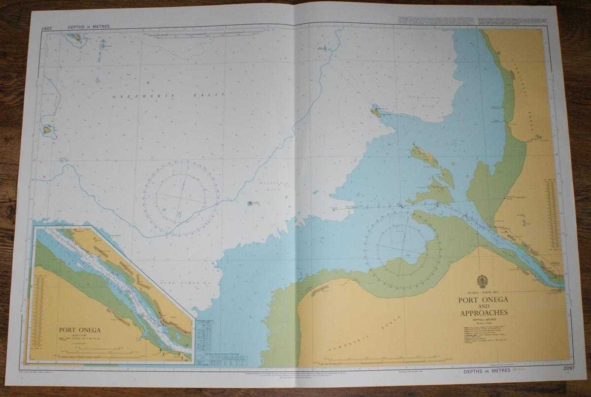
Description: Admiralty, 2003. Revised Edition, Softcover. Very Good Condition/No Dust Jacket. Crisp and clean colour chart with single vertical fold. Very faint v-shaped crease associated with centre fold. Nautical Chart No. 2097 Russia - White Sea, Port Onega and Approaches. Copyright 1985 with small corrections to 2003. Scale 1:50,000. Sheet includes inset plan of Port Onega at scale 1:25,000. Area Covered: Russia (part), Pomorskiy Bereg, Lyamitskiy Bereg, Onega, Ostrova Shogly, Ostrov Kiy, O. Nyapa. White Sea (part), Onezhskiy Zaliv, Guba Nimen'ga, Reka Onega, Karel'skiy Reyd, Dvinskiy Reyd. Size: 72x104. Single sheet map/chart which is suitable for framing and will be shipped rolled and in a cardboard tube.. Quantity Available: 1. Shipped Weight: under 1 kg. Pictures of this item not already displayed here available upon request. Inventory No: 45517074041. ISBN: 0304355410
Keywords: BZDB4 Russia & Eastern Europe; Arctic & Antarctic. Admiralty Nautical Chart No. 2097 Russia - White Sea, Port Onega and Approaches Arctic & Antarctic
See more books from our catalog: Russia & Eastern Europe
Title: Nautical Chart No. 2097 Russia - White Sea, Port Onega and Approaches
Description: Admiralty, 2003. Revised Edition, Softcover. Very Good Condition/No Dust Jacket. Crisp and clean colour chart with single vertical fold. Very faint v-shaped crease associated with centre fold. Nautical Chart No. 2097 Russia - White Sea, Port Onega and Approaches. Copyright 1985 with small corrections to 2003. Scale 1:50,000. Sheet includes inset plan of Port Onega at scale 1:25,000. Area Covered: Russia (part), Pomorskiy Bereg, Lyamitskiy Bereg, Onega, Ostrova Shogly, Ostrov Kiy, O. Nyapa. White Sea (part), Onezhskiy Zaliv, Guba Nimen'ga, Reka Onega, Karel'skiy Reyd, Dvinskiy Reyd. Size: 72x104. Single sheet map/chart which is suitable for framing and will be shipped rolled and in a cardboard tube.. Quantity Available: 1. Shipped Weight: under 1 kg. Pictures of this item not already displayed here available upon request. Inventory No: 45517074041. ISBN: 0304355410
Keywords: BZDB4 Russia & Eastern Europe; Arctic & Antarctic. Admiralty Nautical Chart No. 2097 Russia - White Sea, Port Onega and Approaches Arctic & Antarctic
Price: GBP 26.00 = appr. US$ 37.13 Seller: Bailgate Books Ltd
- Book number: 45517074041
- Book number: 45517074041
See more books from our catalog: Russia & Eastern Europe