Author: Admiralty
Title: Nautical Chart No. 2333 Barents Sea - Murmanskiy Bereg, Mys Nemetskiy to Mys Teriberskiy
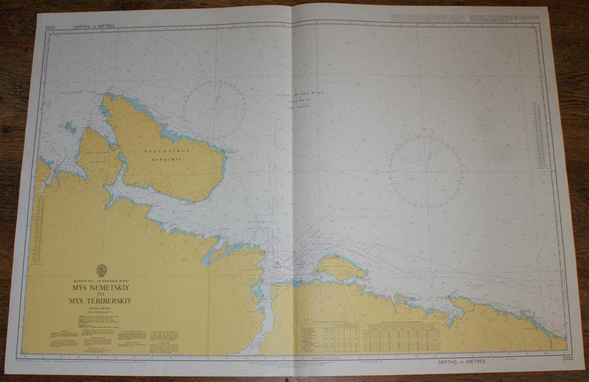
Description: Admiralty, 2004. Revised Edition, Softcover. Very Good Condition/No Dust Jacket. Crisp and clean colour chart with single vertical fold. Nautical Chart No. 2333 Barents Sea - Murmanskiy Bereg, Mys Nemetskiy to Mys Teriberskiy. Copyright 1992 with small corrections to 2004. Scale 1:200,000. Area Covered: Russia (part), Varanger Ford (part), Poluostrov Sredniy, Poluostrov Rybachiy, Ostrov Kil'din, Motovskiy Zaliv, Kol'skiy Zaliv, O. Bol Aynov. Size: 72x104cm. Crisp clean unclipped dust-jacket, fresh covers with gilt lettering on spine, sound binding, clean pages and end-papers. Single sheet map/chart which is suitable for framing and will be shipped rolled and in a cardboard tube.. Quantity Available: 1. Shipped Weight: under 1 kg. Pictures of this item not already displayed here available upon request. Inventory No: 45517074039. ISBN: 0304355410
Keywords: BZDB4 Russia & Eastern Europe; Arctic & Antarctic. Admiralty Nautical Chart No. 2333 Barents Sea - Murmanskiy Bereg, Mys Nemetskiy to Mys Teriberskiy Arctic & Antarctic
See more books from our catalog: Russia & Eastern Europe
Title: Nautical Chart No. 2333 Barents Sea - Murmanskiy Bereg, Mys Nemetskiy to Mys Teriberskiy
Description: Admiralty, 2004. Revised Edition, Softcover. Very Good Condition/No Dust Jacket. Crisp and clean colour chart with single vertical fold. Nautical Chart No. 2333 Barents Sea - Murmanskiy Bereg, Mys Nemetskiy to Mys Teriberskiy. Copyright 1992 with small corrections to 2004. Scale 1:200,000. Area Covered: Russia (part), Varanger Ford (part), Poluostrov Sredniy, Poluostrov Rybachiy, Ostrov Kil'din, Motovskiy Zaliv, Kol'skiy Zaliv, O. Bol Aynov. Size: 72x104cm. Crisp clean unclipped dust-jacket, fresh covers with gilt lettering on spine, sound binding, clean pages and end-papers. Single sheet map/chart which is suitable for framing and will be shipped rolled and in a cardboard tube.. Quantity Available: 1. Shipped Weight: under 1 kg. Pictures of this item not already displayed here available upon request. Inventory No: 45517074039. ISBN: 0304355410
Keywords: BZDB4 Russia & Eastern Europe; Arctic & Antarctic. Admiralty Nautical Chart No. 2333 Barents Sea - Murmanskiy Bereg, Mys Nemetskiy to Mys Teriberskiy Arctic & Antarctic
Price: GBP 26.00 = appr. US$ 37.13 Seller: Bailgate Books Ltd
- Book number: 45517074039
- Book number: 45517074039
See more books from our catalog: Russia & Eastern Europe