Author: Admiralty
Title: Nautical Chart No. AUS 680 Papua New Guinea, New Britain, Approaches to Blanche Bay and Simpson and Matupit Harbours
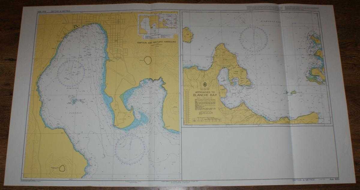
Description: Admiralty, 2005. Revised Edition, Softcover. Very Good Condition/No Dust Jacket. Crisp and clean colour chart with two vertical folds. Nautical Chart No. AUS 680 Papua New Guinea, New Britain, Approaches to Blanche Bay and Simpson and Matupit Harbours. Copyright 1997 with small corrections to 2005. Sheet contains two charts, Approaches to Blanche Bay at scale 1:75,000 and Simpson and Matupit Harbours at scale 1:12,500. Area Covered: Papua New Guinea (part), New Britain (parts), Waton Island, Crater Peninsula, Rabaul, Ulu Island, Duke of York Island (part), Makada Island, Matupit Island. Bismarck Sea (part), Simpson Harbour, Matupit Harbour, Blanche Bay, Karavia Bay Size: 71x127cm. Quantity Available: 1. Shipped Weight: under 1 kg. Pictures of this item not already displayed here available upon request. Inventory No: 45517074004. ISBN: 0710626231
Keywords: BZDB4 Maps; Indian sub-continent & South East Asia; Australasia and the Pacific; naval, naval history, maritime, ships, boats. Admiralty Nautical Chart No. AUS 680 Papua New Guinea, New Britain, Approaches to Blanche Bay and Simpson and Matupit Harbours I
See more books from our catalog: Maps
Title: Nautical Chart No. AUS 680 Papua New Guinea, New Britain, Approaches to Blanche Bay and Simpson and Matupit Harbours
Description: Admiralty, 2005. Revised Edition, Softcover. Very Good Condition/No Dust Jacket. Crisp and clean colour chart with two vertical folds. Nautical Chart No. AUS 680 Papua New Guinea, New Britain, Approaches to Blanche Bay and Simpson and Matupit Harbours. Copyright 1997 with small corrections to 2005. Sheet contains two charts, Approaches to Blanche Bay at scale 1:75,000 and Simpson and Matupit Harbours at scale 1:12,500. Area Covered: Papua New Guinea (part), New Britain (parts), Waton Island, Crater Peninsula, Rabaul, Ulu Island, Duke of York Island (part), Makada Island, Matupit Island. Bismarck Sea (part), Simpson Harbour, Matupit Harbour, Blanche Bay, Karavia Bay Size: 71x127cm. Quantity Available: 1. Shipped Weight: under 1 kg. Pictures of this item not already displayed here available upon request. Inventory No: 45517074004. ISBN: 0710626231
Keywords: BZDB4 Maps; Indian sub-continent & South East Asia; Australasia and the Pacific; naval, naval history, maritime, ships, boats. Admiralty Nautical Chart No. AUS 680 Papua New Guinea, New Britain, Approaches to Blanche Bay and Simpson and Matupit Harbours I
Price: GBP 28.00 = appr. US$ 39.98 Seller: Bailgate Books Ltd
- Book number: 45517074004
- Book number: 45517074004
See more books from our catalog: Maps