Author: John Bartholomew
Title: Map of 'Indian Ocean and Ceylon', Plate 26 disbound from 1959 Mid-Century Times Atlas of the World, Volume II Various Scales
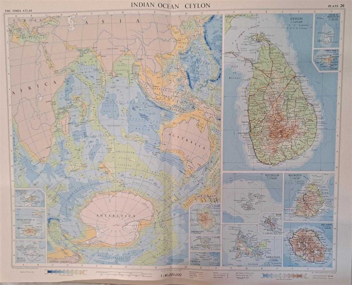
Description: The Times Publishing Company Ltd. London, 1959. Mid-Century Edition, Softcover. Fine Condition/No Dust Jacket. Single disbound map sheet from 'The Times Atlas of the World, Mid-Century Edition; Volume II Eurasia, suitable for framing. Map is in colour and has vertical centre fold. Approx sheet size is 49 x 61cm. Sheet is clean, bright and crisp. Various scales. Map covers: Indian Ocean scale 1:40,000,000 with outlines of Antarctic, Australia, Asia, Africa and coloured to show ocean depths and physical features; Ceylon (now Sri Lanka), scale 1:2,000,000 showing towns, villages, heights of land and depths of surrounding sea; Similarly at scale 1:5,000,000 Crozet Island; At scale 1:2,500.000 Kerguelen and Seychelles; At 1:000,000 Christmas Island, Cocos Island, Heard Island, Mahe, Mauritius, Prince Edward Island, Reunion, Rodriguez Island; At 1:250,000 Amsterdam Island and St Paul Island. First printing of this edition. Quantity Available: 1. Shipped Weight: under 1 kg. Pictures of this item not already displayed here available upon request. Inventory No: 45022081060. ISBN: 0333371852
Keywords: BZDB4 Maps; Arctic & Antarctic; Geology, geography, mineralogy, environment; Indian sub-continent & South East Asia. Unbranded John Bartholomew Map of 'Indian Ocean and Ceylon', Plate 26 disbound from 1959 Mid-Century Times Atlas of the World, Volume II V
See more books from our catalog: Maps
Title: Map of 'Indian Ocean and Ceylon', Plate 26 disbound from 1959 Mid-Century Times Atlas of the World, Volume II Various Scales
Description: The Times Publishing Company Ltd. London, 1959. Mid-Century Edition, Softcover. Fine Condition/No Dust Jacket. Single disbound map sheet from 'The Times Atlas of the World, Mid-Century Edition; Volume II Eurasia, suitable for framing. Map is in colour and has vertical centre fold. Approx sheet size is 49 x 61cm. Sheet is clean, bright and crisp. Various scales. Map covers: Indian Ocean scale 1:40,000,000 with outlines of Antarctic, Australia, Asia, Africa and coloured to show ocean depths and physical features; Ceylon (now Sri Lanka), scale 1:2,000,000 showing towns, villages, heights of land and depths of surrounding sea; Similarly at scale 1:5,000,000 Crozet Island; At scale 1:2,500.000 Kerguelen and Seychelles; At 1:000,000 Christmas Island, Cocos Island, Heard Island, Mahe, Mauritius, Prince Edward Island, Reunion, Rodriguez Island; At 1:250,000 Amsterdam Island and St Paul Island. First printing of this edition. Quantity Available: 1. Shipped Weight: under 1 kg. Pictures of this item not already displayed here available upon request. Inventory No: 45022081060. ISBN: 0333371852
Keywords: BZDB4 Maps; Arctic & Antarctic; Geology, geography, mineralogy, environment; Indian sub-continent & South East Asia. Unbranded John Bartholomew Map of 'Indian Ocean and Ceylon', Plate 26 disbound from 1959 Mid-Century Times Atlas of the World, Volume II V
Price: GBP 28.00 = appr. US$ 39.98 Seller: Bailgate Books Ltd
- Book number: 45022081060
- Book number: 45022081060
See more books from our catalog: Maps