Author: John Bartholomew
Title: Map of Belgium and The Netherlands (Holland) with the Grand Duchy of Luxembourg - Sheet 29 disbound from the 1890 'The Library Reference Atlas of the World'
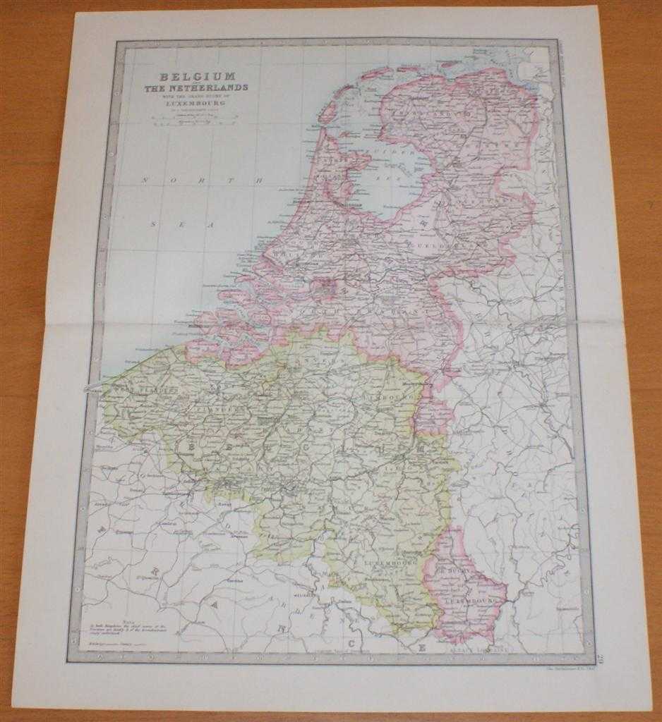
Description: Macmillan and Co. London, 1890. First Edition, Softcover. Very Good Condition/No Dust Jacket. Single disbound coloured map sheet, from John Bartholomew's Library Reference Atlas, covering the British Isles, the North Sea or German Ocean and parts of neighboring Europe. Suitable for framing. Approx size 35 x 46cm, vertical centre fold. Map is clean, crisp, clear and bright. Fold is split at right side of sheet and has been repaired on the rear with archive tape. Map includes England, Ireland, Scotland, Wales, Channel Islands, Denmark, Belgium and Holland, and parts of France, Germany, Sweden and Norway. Principle railway routes are shown across all of the mapped area, shipping routes are also marked. No dust jacket, as published. Quantity Available: 1. Shipped Weight: under 1 kg. Pictures of this item not already displayed here available upon request. Inventory No: 45021014004. ISBN: 0718132130
Keywords: BZDB4 Maps; Germany, Austria, Switzerland and German Language; European History. John Bartholomew Map of Belgium and The Netherlands (Holland) with the Grand Duchy of Luxembourg - Sheet 29 disbound from the 1890 'The Library Reference Atlas of the World'
See more books from our catalog: Maps
Title: Map of Belgium and The Netherlands (Holland) with the Grand Duchy of Luxembourg - Sheet 29 disbound from the 1890 'The Library Reference Atlas of the World'
Description: Macmillan and Co. London, 1890. First Edition, Softcover. Very Good Condition/No Dust Jacket. Single disbound coloured map sheet, from John Bartholomew's Library Reference Atlas, covering the British Isles, the North Sea or German Ocean and parts of neighboring Europe. Suitable for framing. Approx size 35 x 46cm, vertical centre fold. Map is clean, crisp, clear and bright. Fold is split at right side of sheet and has been repaired on the rear with archive tape. Map includes England, Ireland, Scotland, Wales, Channel Islands, Denmark, Belgium and Holland, and parts of France, Germany, Sweden and Norway. Principle railway routes are shown across all of the mapped area, shipping routes are also marked. No dust jacket, as published. Quantity Available: 1. Shipped Weight: under 1 kg. Pictures of this item not already displayed here available upon request. Inventory No: 45021014004. ISBN: 0718132130
Keywords: BZDB4 Maps; Germany, Austria, Switzerland and German Language; European History. John Bartholomew Map of Belgium and The Netherlands (Holland) with the Grand Duchy of Luxembourg - Sheet 29 disbound from the 1890 'The Library Reference Atlas of the World'
Price: GBP 34.00 = appr. US$ 48.55 Seller: Bailgate Books Ltd
- Book number: 45021014004
- Book number: 45021014004
See more books from our catalog: Maps