Author: HAYES, DEREK
Title: Historical Atlas of the North Pacific Ocean Maps of Discovery and Scientific Exploration, 1500
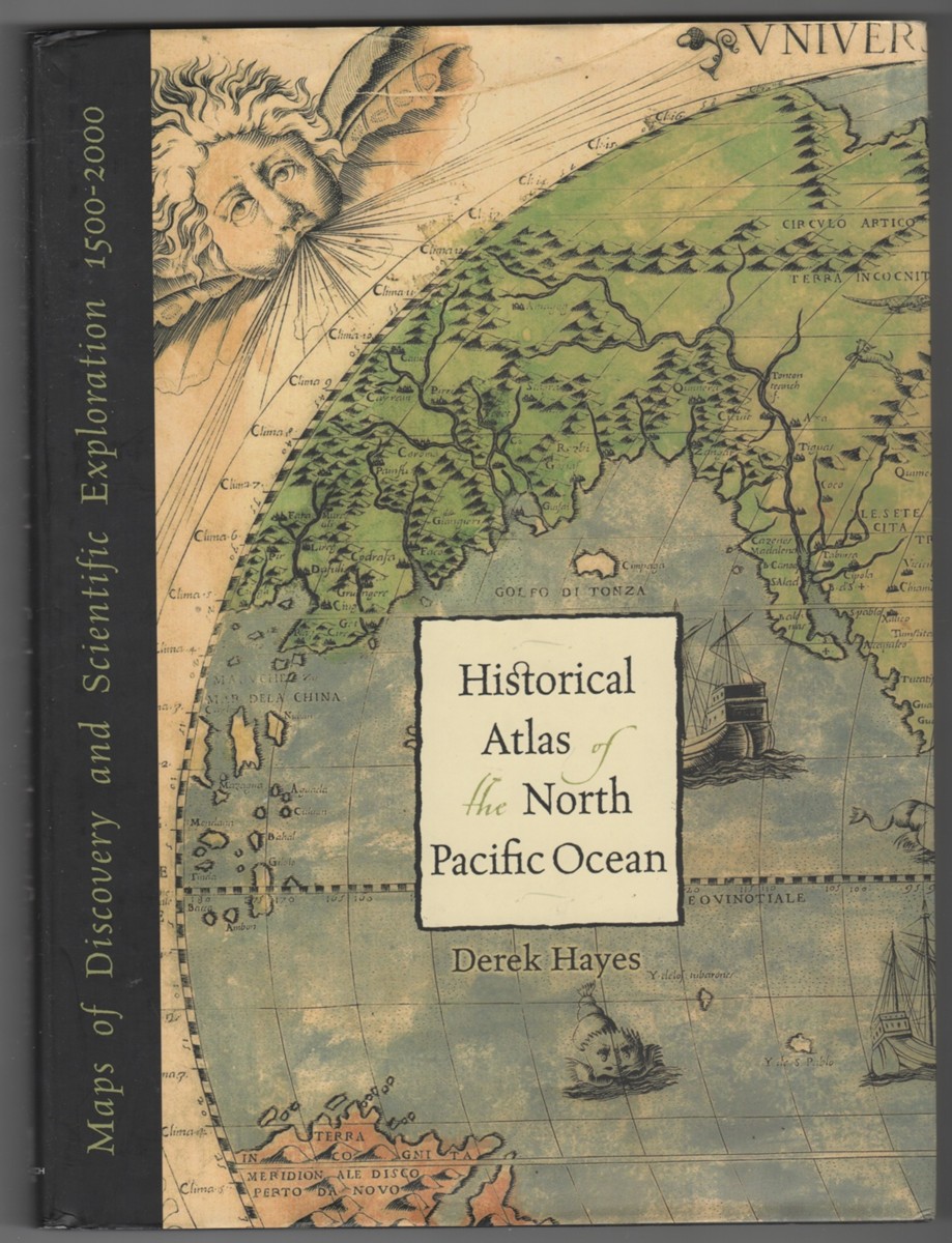
Description: Seattle, WA: Sasquatch Books, 2001. First Edition; First Printing. Hardcover. ISBN: 1570613117. Light wear to dustjacket; A bright, solid book dustjacket in Mylar, unclipped.; B&W and Colour Illustrations; 13.3 X 10.3 X 0.9 inches; 224 pages; "Over five hundred years of maps depicting the North Pacific Ocean and the lands that border it - the United States, Canada, Alaska, Russia, Japan, Korea, and China have been collected into this new atlas. From antique maps of the sixteenth century to modern satellite images, this volume covers all the major explorations, such as Magellan, Bering, Cook, and Vancouver; Perry's opening of Japan; and the U.S. North Pacific Exploring Expedition. It also includes modern maps that use the latest technology to show ocean currents, fault lines, and the seabed in astounding detail.". Near Fine in Very Good+ dust jacket .
Keywords: 1570613117 Exploration Cartography Maps Pacific ocean CARTOGRAPHY
See more books from our catalog: Cartography::Pacific
Title: Historical Atlas of the North Pacific Ocean Maps of Discovery and Scientific Exploration, 1500
Description: Seattle, WA: Sasquatch Books, 2001. First Edition; First Printing. Hardcover. ISBN: 1570613117. Light wear to dustjacket; A bright, solid book dustjacket in Mylar, unclipped.; B&W and Colour Illustrations; 13.3 X 10.3 X 0.9 inches; 224 pages; "Over five hundred years of maps depicting the North Pacific Ocean and the lands that border it - the United States, Canada, Alaska, Russia, Japan, Korea, and China have been collected into this new atlas. From antique maps of the sixteenth century to modern satellite images, this volume covers all the major explorations, such as Magellan, Bering, Cook, and Vancouver; Perry's opening of Japan; and the U.S. North Pacific Exploring Expedition. It also includes modern maps that use the latest technology to show ocean currents, fault lines, and the seabed in astounding detail.". Near Fine in Very Good+ dust jacket .
Keywords: 1570613117 Exploration Cartography Maps Pacific ocean CARTOGRAPHY
Price: US$ 29.95 Seller: Ainsworth Books
- Book number: 19422
- Book number: 19422
See more books from our catalog: Cartography::Pacific