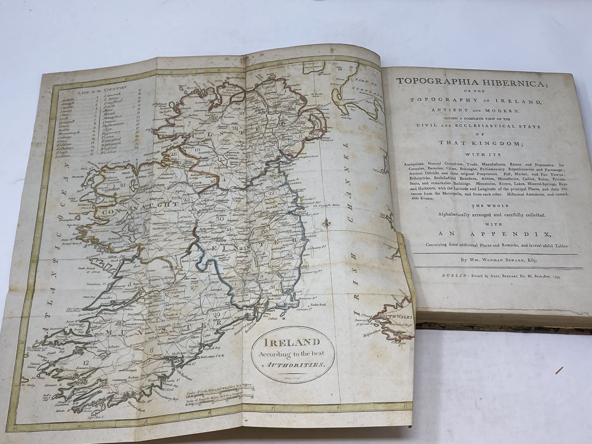
Author: Seward, Wm. (William) Wenham
Title: Topographia Hibernica; or the Topography of Ireland, Antient and Modern, Giving a Complete View of the CIVIL and Ecclesiastical State of That Kingdom; with Its Antiquities, Natural Curiosities, Trade, Manufactures, Extent and Population. Its Counties, Baronies, Cities, Boroughs, Parliamentary Representation and Patronage; Antient Districts and Their Original Proprietors. Post, Market and Fair Towns; Bishopricks, Ecclesiatical Benefices, Abbies, Monasteries, Castles, Ruins, Private-Seats, and Remarkable Buildings. Mountains, Rivers, Lakes, Mineral-Springs, Bays and Harbours, with the Latitude and Longitude of the Principal Places, and Their Distances to the Metropolis, and from Each Other. The Whole Alphabetically Arranged and Carefully Collected. With an Appendix Containing Some Additional Places and Remarks, and Several Useful Tables
Description: Dublin, Ireland, Alex. Stewart, 1795. Hardcover. Quarto, 11 in. x 8.4 in. pp. [320] (unpaginated), 30 (appendix). Illustrated with color frontispiece fold-out map of Ireland (15 in. x 14 in.) and fold-out table of distances (21.5 in. x 18.5 in.). No plates. Half calf over marble boards with gilt emblem for the "Society of Writers to the Signet" on front and rear boards. Gilt title on black panel to rebacked spine. Seven horizontal decorative gilt bands to spine. Small chips to leather on front joints, Front and rear hinge professionally repaired. Light age-toning with occasional spotting to pages. Tape repair and closed tear to leaf at "BR". Fold-out map and chart in very good plus condition. Previous owner's sticker to front pastedown. Very Good .
Keywords: Irish History, Irish Geography
See more books from our catalog: Irish & Ireland
Title: Topographia Hibernica; or the Topography of Ireland, Antient and Modern, Giving a Complete View of the CIVIL and Ecclesiastical State of That Kingdom; with Its Antiquities, Natural Curiosities, Trade, Manufactures, Extent and Population. Its Counties, Baronies, Cities, Boroughs, Parliamentary Representation and Patronage; Antient Districts and Their Original Proprietors. Post, Market and Fair Towns; Bishopricks, Ecclesiatical Benefices, Abbies, Monasteries, Castles, Ruins, Private-Seats, and Remarkable Buildings. Mountains, Rivers, Lakes, Mineral-Springs, Bays and Harbours, with the Latitude and Longitude of the Principal Places, and Their Distances to the Metropolis, and from Each Other. The Whole Alphabetically Arranged and Carefully Collected. With an Appendix Containing Some Additional Places and Remarks, and Several Useful Tables
Description: Dublin, Ireland, Alex. Stewart, 1795. Hardcover. Quarto, 11 in. x 8.4 in. pp. [320] (unpaginated), 30 (appendix). Illustrated with color frontispiece fold-out map of Ireland (15 in. x 14 in.) and fold-out table of distances (21.5 in. x 18.5 in.). No plates. Half calf over marble boards with gilt emblem for the "Society of Writers to the Signet" on front and rear boards. Gilt title on black panel to rebacked spine. Seven horizontal decorative gilt bands to spine. Small chips to leather on front joints, Front and rear hinge professionally repaired. Light age-toning with occasional spotting to pages. Tape repair and closed tear to leaf at "BR". Fold-out map and chart in very good plus condition. Previous owner's sticker to front pastedown. Very Good .
Keywords: Irish History, Irish Geography
Price: US$ 395.00 Seller: Aardvark Books
- Book number: 86327
- Book number: 86327
See more books from our catalog: Irish & Ireland